Hurricane Nigel Intensifies as Warming Ocean Temperatures Fuel Storms
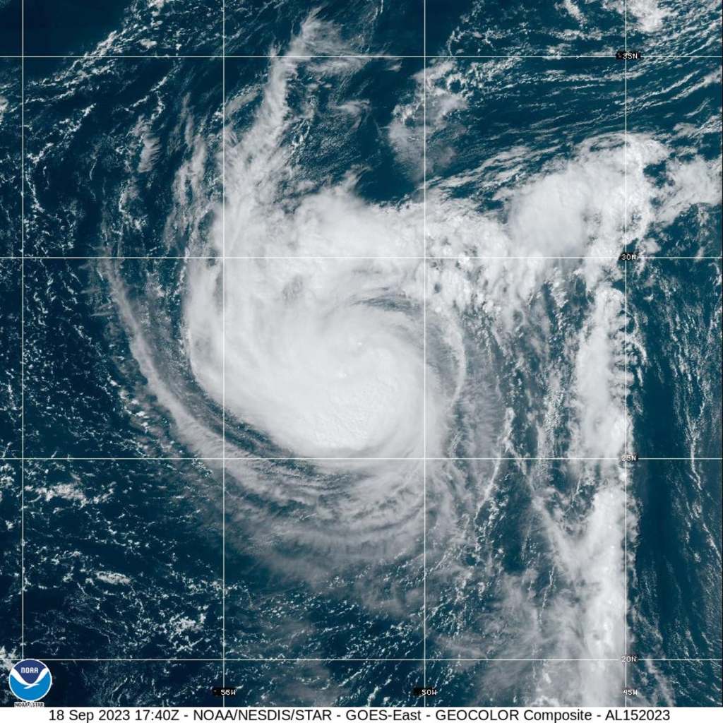
Hurricane Nigel, currently a Category 1 storm in the Atlantic, is expected to rapidly intensify into a Category 3 major hurricane by Tuesday, with sustained winds of at least 111mph. This year has seen an above-average number of storms, with Nigel being the 14th named storm in the Atlantic. The increased number of storms is attributed to both the El Niño pattern and warming ocean temperatures, which fuel and intensify hurricanes.
According to the National Hurricane Center, Nigel is a fast-paced storm that is expected to remain in open waters and is not expected to make landfall. The storm was about 875 miles east-southeast of Bermuda and was moving northwest at a speed of 12mph. A gradual weakening trend is expected to start late Wednesday after an intensification in the next 24 hours.
This year’s heightened sea surface temperatures, due to El Niño and warming ocean temperatures, have made solid storm predictions more difficult. Phil Klotzbach, a hurricane researcher at Colorado State University, noted that “there’s just a lot of kind of screwy things that we haven’t seen before.”
The Independent and The New York Times have both reported on the intensifying storm, noting the potential effects of El Niño and warming ocean temperatures on the increased number of storms this year. With Hurricane Nigel expected to remain in open waters, it is important to be aware of the impacts of climate change on our environment.
